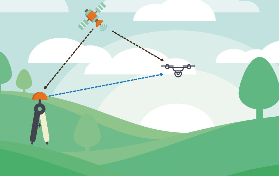
Introduction Drones have become ubiquitous in various industries, from photography and cinematography to agriculture and surveying. As the demand for accurate and reliable positioning of drones continues to rise, Real-Time Kinematic (RTK) technology has emerged as a key player in enhancing the precision and efficiency of drone navigation. In this article, we’ll explore how RTK […]
Tag : Aerial Surveying with Drones

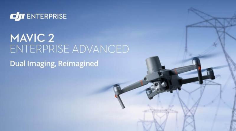
Who said go big or go home? Certainly not DJI! DJI has just announced the end of large drones? Probably not, but the new Mavic 2 Enteprise Advanced is packed with stunning tech in less than 1Kg. Powerful Imaging with Advanced Sensors Thanks to its advanced dual sensors featuring an HD 640 × 512 px […]

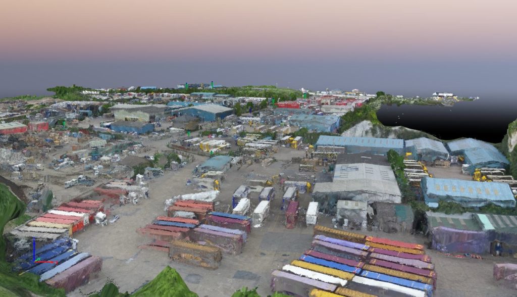
Working with Waterman Infrastructure & Environment and Thurrok Borough Council to map a large industrial site in Purfleet, Essex, Bee Aerial completed aerial surveys to provide detailed, high-resolution models using a Phantom 3 drone and Pix4Dmapper image-processing software. The surveys will be used to plan and direct a wide scale regeneration project in the area. […]

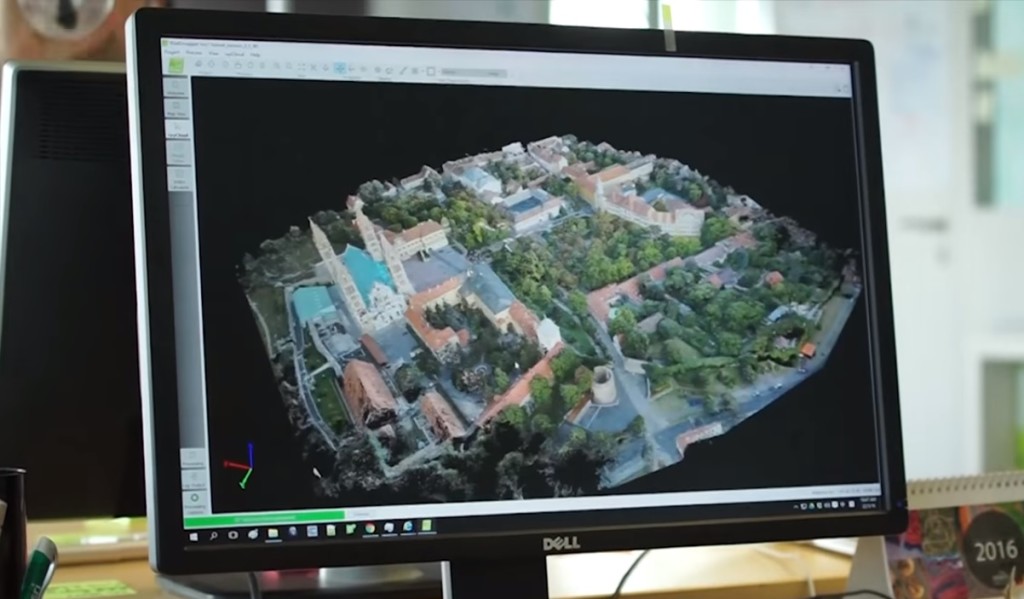
Over the last few years, drones have revolutionized photography by putting a roving eye in the sky whenever and wherever it is needed. Technological innovations are now extending those advances to other fields so that drones can not only photograph and film from the air, but via aerial surveying can provide detailed 3D surveys for architects, […]

