

Drone LiDAR and Video Drone Capture
Client: Quell
Quell is a UK-based defence technology company developing AI-powered systems for national security. Its Deep Truth® platform powers next-generation detection and decision-support tools, including SkySpyke®, a 360-degree counter-UAS threat-detection system. For this project, Quell required a signature visual loop for its website — a seamless, captivating aerial sequence of a historic site tied to themes of defence and fortification.
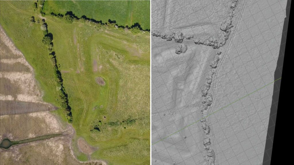
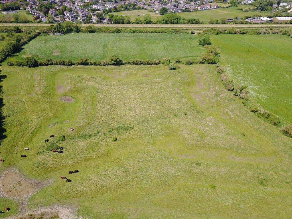
Location: Earith Bulwark, Cambridgeshire
Earith Bulwark is a mid-17th-century, star-shaped earthwork built during the English Civil War to command a strategic crossing of the River Great Ouse. The bulwark has since been partially overgrown, but its bold geometry still symbolises 17th-century innovation in defence and surveillance — making it the perfect historic parallel for Quell’s mission.
The Creative Brief
The primary deliverable was an ultra-high-resolution looping aerial video for Quell’s homepage. The sequence required:
- A spiralling descent from high altitude, showing the bulwark slowly rotating like a Catherine wheel.
- The spiral tightening until it focused on the metal WW2 turret at the fort’s centre.
- A spiralling ascent, returning to the starting view, completing a seamless loop.
Additionally, the Founder asked us to explore a dual-mode visualisation that cut back and forth between RGB drone video and LiDAR point cloud renderings as the loop progresses.
Technical Approach
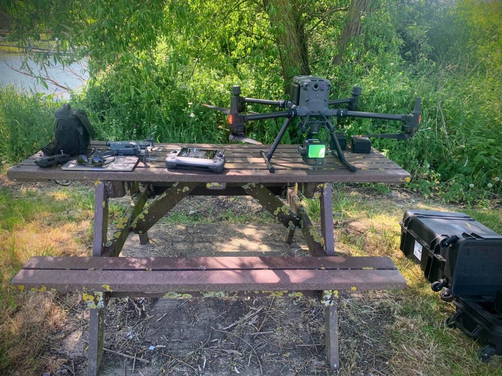
Drone Platform
We used the DJI Matrice M350 RTK with the Zenmuse L2 LiDAR sensor, enabling us to collect both dense LiDAR point clouds and high-quality RGB data during a single flight. For the first time, we could monitor the LiDAR scan live on the pilot’s controller — ensuring coverage of the entire bulwark before leaving site.
Workflow
- Flight Capture: Spiralling flight path, synchronised LiDAR and RGB imagery.
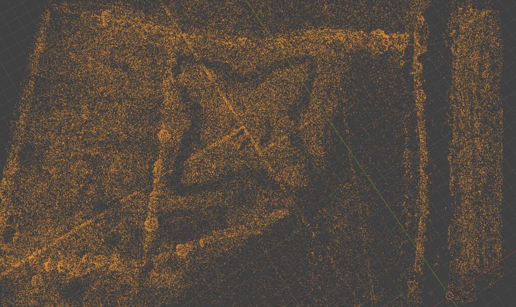
- Data Processing: LiDAR point cloud processed in DJI Terra.
- Visual Integration: 3D model imported into Blender; virtual camera matched to drone trajectory.
- Final Composite: Completed in After Effects, creating a loopable 4K video sequence with smooth RGB–LiDAR transitions.
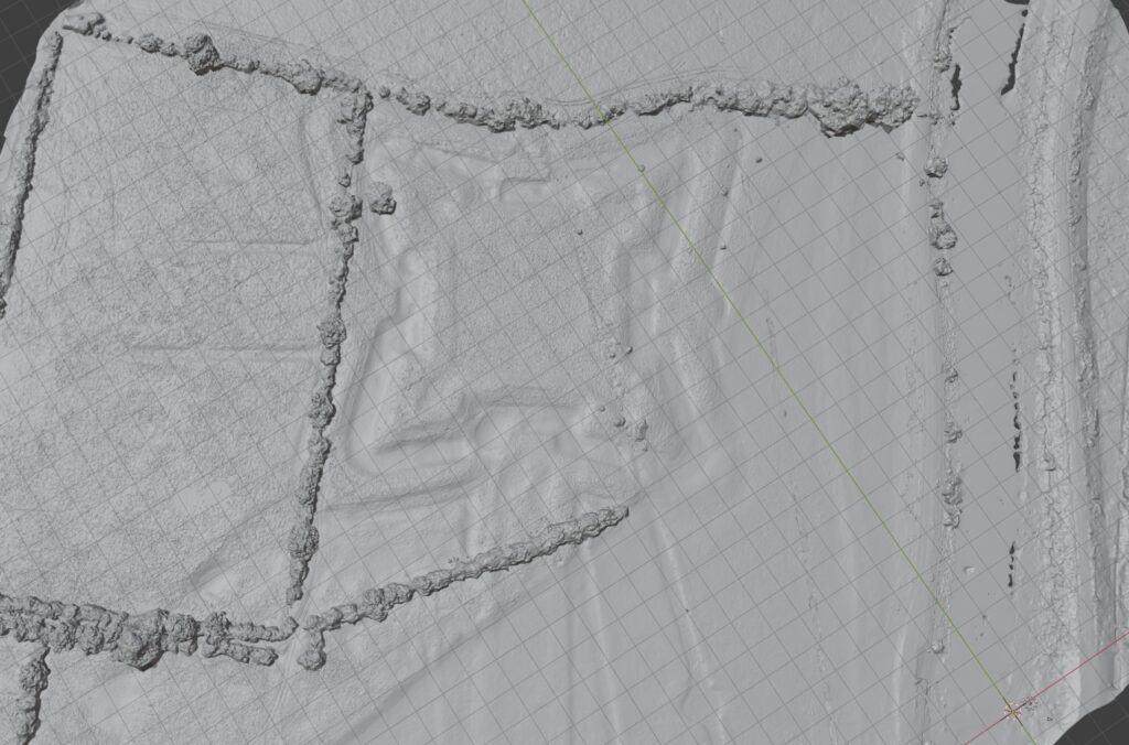
Why LiDAR Matters
LiDAR (Light Detection and Ranging) emits rapid laser pulses to measure surfaces with centimetric accuracy. Its ability to penetrate vegetation makes it uniquely powerful for revealing hidden heritage landscapes — from Mayan jungle temples to Iron Age forts. At Earith, LiDAR let us reconstruct the star-shaped bulwark in 3D despite tree cover, providing a digital twin that could be directly integrated into the cinematic loop.
Deliverable & Outcome
The final product delivered to Quell was a looping 4K aerial video sequence that:
- Combines real drone footage and LiDAR point cloud renderings.
- Spirals smoothly down from overview to detail and back.
- Communicates both the heritage of fortifications and cutting-edge sensing technology.

Impact
This project highlights how Bee Aerial blends cinematic drone cinematography with advanced LiDAR surveying to create unique visual assets. The result: a compelling signature loop for Quell’s website, aligning history, defence and technology.